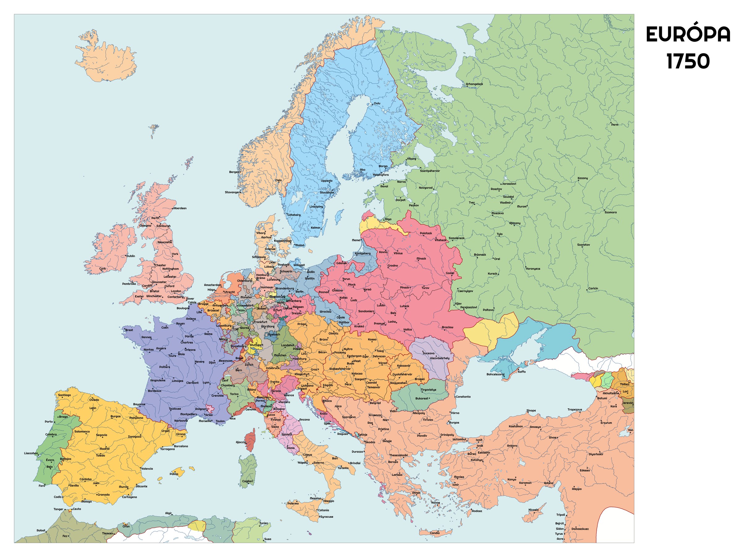
The Travels
Forty years of movement — the documented itinerary of a man who lived on the road.
How he traveled
Casanova traveled as the eighteenth-century elite traveled: by post-chaise and river barge, staying with patrons, in rented rooms, and at gaming tables that doubled as banks. He spoke French, Italian, and enough of the other languages to get into trouble in all of them. What follows is the documented skeleton; the flesh is in the memoirs.
The itinerary
- 1743–1744 — Rome. Secretary to Cardinal Acquaviva; dismissed after a scandal.
- 1744–1745 — Corfu and Constantinople. Brief service as a Venetian officer.
- 1749–1753 — Italy and the first Paris. Naples, Rome, and a first Parisian stay; the memoirs’ Italian years.
- 1757–1760 — Paris. The lottery years; the Marquise d’Urfé affair; flight in 1760.
- 1760 — Switzerland and Italy. Ferney (Voltaire, August 1760), then south through Italy.
- 1761–1763 — Southern France, then London. Marseille, and London in 1763 (the Charpillon affair).
- 1764 — Berlin. Audience with Frederick the Great at Sans-Souci; on to the Baltic.
- 1764–1765 — Russia. St. Petersburg and Moscow; the court of Catherine the Great.
- 1765–1766 — Poland and Vienna. Warsaw (a duel with Count Branicki — the one duel of his life he describes at length), then Vienna.
- 1767–1768 — Spain. Madrid; imprisonment and expulsion.
- 1769–1773 — Italy. Florence, Rome, Naples, Trieste.
- 1774 — Return to Venice. Pardoned after eighteen years of exile.
- 1783–1785 — Paris, Vienna, Prague. The final wandering.
- 1785–1798 — Dux. Librarian to Count Waldstein; no more travel.
What the itinerary shows
Two things stand out. First, the geography is the geography of patronage: Casanova went where a protector, a gaming table, or a scandal took him. Second, the memoirs’ map ends in 1774 — the last decade of movement (1774–1785) is reconstructed from letters and other sources, not from his own narrative.
Source notes
- The itinerary follows the Pléiade Histoire de ma vie (2015) chronology. All post-1774 movements rest on correspondence and secondary sources, since the memoirs break off in 1774.