The Sky Islands
Six days above the clouds — and the map that was upside down the whole time.
Expedition 2 of 3. Six days. All entries original fiction.
Day 1 — Ascent
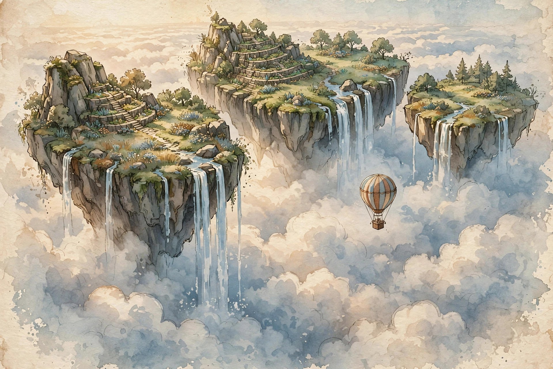
The balloon is called the Dandelion, which is honest advertising. We rose through a cloud layer at dawn and came out above it into a second sky — and there they were: the Sky Islands, a chain of stone-and-meadow islands hanging in the blue like commas.
The pilot, an old woman named Sarella who has flown this route eleven times, pointed at my map and said, “That’s upside down.” I said it couldn’t be. She said, “Then why are we going the wrong way, dear?”
We were not going the wrong way. The map was upside down. I have decided these are different problems and I only caused one of them.
Day 2 — First landing
Set down on the smallest island, Little Quill. The grass grows in spirals here — every blade curls the same direction, like the island is combing it. I pressed a sample and labeled it, then labeled the label, because field work is mostly labeling things so future-you doesn’t have to guess.
Found a cairn of stacked stones with a tin box inside: notes from a surveyor, forty years old, in handwriting better than mine. His last line: “The islands drift. Do not trust the distances, only the order.” I copied it into my journal and underlined it twice.
Day 3 — The drifting order
He was right. We flew what the map said was a short hop and found open sky where an island should be. Sarella wasn’t worried. “It’s Tuesday,” she said, as if that explained celestial mechanics. The islands move in a slow weekly circuit — the order stays, the distances breathe.
I redrew the map as a sequence instead of a picture: island, gap, island, gap. It’s uglier and it’s true. Maps should be true before they’re pretty. (They can be both. Aspire.)
Day 4 — The hanging gardens
The fourth island, Verdant Ledger, is all terraced gardens growing sideways out of the cliff faces, tended by the islanders who wave at balloons like they’re buses. They traded me seeds for my spare pencil — a transaction both sides found suspicious and delightful.
I asked how the islands stay up. An islander named Peto thought for a long time and said, “Very slowly.” This is the best answer I have ever received to any question.
Day 5 — Storm below
A storm moved in under us — we watched lightning walk around inside a cloud like it was looking for something. The Dandelion rode it out tied to a stone anchor-ring on the fifth island while I sat in the basket and wrote this, swinging gently, thinking about how “solid ground” is a phrase with an expiration date.
Sarella taught me the balloonist’s knot. I have practiced it forty times. I can now tie it in the dark, which is when knots matter.
Day 6 — Descent
Down through the cloud layer at sunset, into rain that smelled like the ground floor of the world. My map — the ugly true one — is folded in the journal. The pretty wrong one I left with Sarella, who hung it in the balloon shed “for the tourists.”
Lessons, filed: Order matters more than distance. Ask the person who flies the route. When the map and the world disagree, the world is not the one that’s wrong — but check your map’s orientation first, because sometimes you are.
Source notes
Original expedition fiction written for this site. The Sky Islands are an invented location; see the atlas for the (deliberately sequential) map.