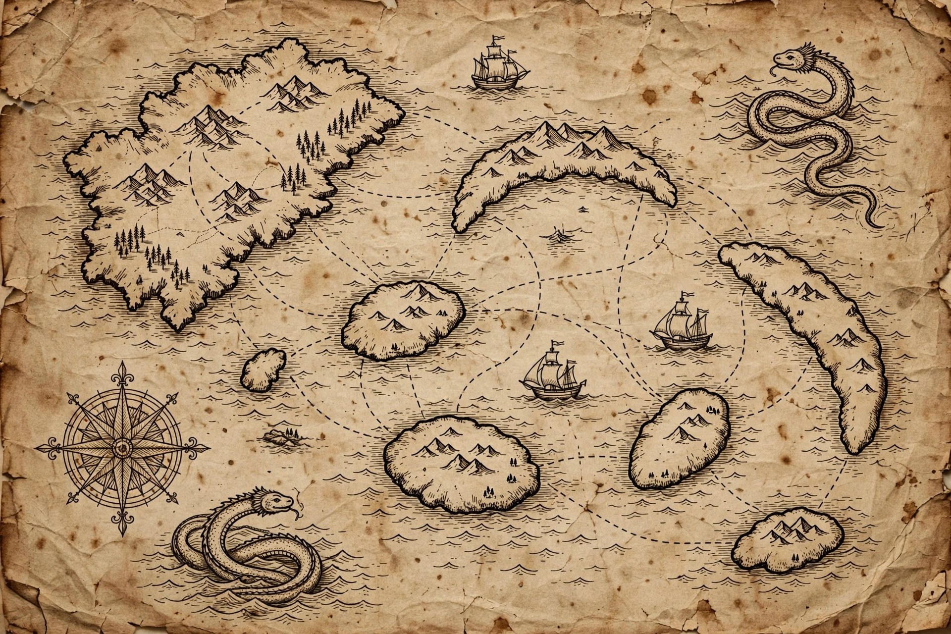
The atlas
Hand-drawn-style maps of places that don't exist — every one labeled as the fiction it is.
Every map on this page is an AI-generated dramatization art piece in an antique cartographic style, depicting a fictional location from the expedition journals. They are original to this site: no real place is depicted, and no real map was copied.
The Valley of Echoes
A canyon corridor running north to south, flanked by marker stones at the mouth. The journal’s map marks the “long hall” (the narrowest stretch), the red stones where she turned back, and — in the margin, in her hand — the note “sound arrives late here; do not trust your ears, trust your watch.”
AI-generated dramatization art. The Valley of Echoes is fictional; this map depicts no real place.
The Sky Islands
Drawn as a sequence, not a picture — per the surveyor’s advice in the journal: island, gap, island, gap. Little Quill first, then the terraced gardens of Verdant Ledger, then the anchor-ring island where the Dandelion rode out the storm. Distances are marked “variable (Tuesdays)” in the original, which the editor has chosen to preserve.
The Lantern Deep
A cross-section rather than a floor plan: the descent shaft, the main gallery (noted “hums in E”), the water channel Committee followed, and the side passages marked only with the warning “silence means a drop.” Drawn from memory after the Dimming, so the cartographer apologizes for the wobbles.
The Greytooth Hills (surface)
The hills above the Lantern Deep, sketched on the way down: switchback trails, the survey camp, and a small drawing of a glow-moth labeled “Committee (see journal, Day 2–4).”
How to read these maps
- They are story props, not navigation tools. Do not navigate by them — there is nowhere to navigate to.
- The marginalia is the point. The journals’ best thinking happens in the map margins.
- The wobbles are honest. A map drawn from memory after four days underground should wobble.
Source notes
All maps depict fictional locations from the original expedition journals. The antique-style map artwork is AI-generated dramatization art created in-house; no real cartographic work is reproduced.